The short answer
Richmond is a driving metro, and an easy one. The average one-way commute in the metro was 26.0 minutes in the Census Bureau's 2025 survey. GRTC buses are free. The toll roads went fully electronic on February 28, 2026. Richmond International Airport flies nonstop to 40 destinations.
The mistake is choosing a neighborhood by distance on a map. Pick by the drive at 8am, and by which bridge or toll sits in the middle of it.
Average commute, by where you live
| Locality | Minutes |
|---|---|
| City of Richmond | 21.7 |
| Henrico County | 24.1 |
| Chesterfield County | 27.2 |
| Hanover County | 28.0 |
| Goochland County | 29.9 (5-year average) |
| Richmond metro | 26.0 |
Source: U.S. Census Bureau, American Community Survey 2025 1-year (Goochland: 2020 to 2024 5-year, the only figure published for a county its size).
Rush hour, measured
Nobody publishes rush-hour drive times by neighborhood, so we measured them. These are Google Maps typical-traffic ranges for a Tuesday: leaving at 8:00 a.m., and heading home at 5:00 p.m.
| From | Miles | 8:00 a.m. in | 5:00 p.m. home |
|---|---|---|---|
| The Fan | 2.5 | 5 to 8 | 7 to 12 |
| Church Hill | 1.8 | 7 to 14 | 9 to 14 |
| Museum District | 3.1 | 5 to 7 | 9 to 12 |
| Scott's Addition | 4.2 | 8 to 14 | 8 to 12 |
| Jackson Ward | 1.1 | 5 to 7 | 6 to 8 |
| Manchester | 1.1 | 3 | 4 to 7 |
| Northside | 4.8 | 9 to 14 | 10 to 16 |
| Forest Hill | 2.9 | 7 to 10 | 9 to 14 |
| Short Pump | 15.5 | 20 to 35 | 22 to 40 |
| Glen Allen | 12.4 | 18 to 35 | 18 to 40 |
| Bon Air | 8.8 | 14 to 22 | 14 to 24 |
| Midlothian | 13.5 | 24 to 50 | 22 to 45 |
| Chester | 15.8 | 22 to 35 | 20 to 35 |
| Mechanicsville | 9.3 | 14 to 35 | 16 to 35 |
| Ashland | 19.8 | 24 to 40 | 28 to 45 |
| Goochland | 32.8 | 35 to 50 | 40 to 55 |
| Carytown | 3.5 | 5 to 7 | 7 to 9 |
| West End (City) | 5.5 | 9 to 14 | 10 to 16 |
| River Road | 7 | 14 to 20 | 16 to 26 |
| Bellevue | 7 | 10 to 16 | 12 to 22 |
| Moseley | 23.4 | 30 min to 1 hr | 30 min to 1 hr |
| Powhatan | 32.5 | 40 min to 1 hr 5 | 40 min to 1 hr |
| New Kent | 29.8 | 30 to 45 | 30 to 45 |
Measured by MAMS on November 7, 2026, for Tuesday, November 10, 2026: Google Maps typical-traffic ranges in minutes, for a Tuesday departure. Original data; cite as MAMS, mamsnow.com.
| From | VCU Medical Center | Capital One West Creek | Innsbrook | RIC airport |
|---|---|---|---|---|
| The Fan | 8 to 14 | 22 to 35 | 16 to 26 | 14 to 22 |
| Church Hill | 7 to 12 | 28 to 45 | 22 to 40 | 12 to 18 |
| Museum District | 8 to 12 | 22 to 35 | 16 to 26 | 16 to 22 |
| Scott's Addition | 9 to 18 | 22 to 30 | 14 to 24 | 16 to 26 |
| Jackson Ward | 4 to 7 | 24 to 35 | 18 to 28 | 12 to 18 |
| Manchester | 6 to 12 | 26 to 40 | 20 to 30 | 14 to 20 |
| Northside | 8 to 12 | 22 to 35 | 16 to 30 | 12 to 18 |
| Forest Hill | 12 to 16 | 28 to 35 | 22 to 30 | 18 to 26 |
| Short Pump | 22 to 40 | 12 to 18 | 8 to 16 | 28 to 50 |
| Glen Allen | 20 to 40 | 14 to 20 | 8 to 14 | 24 to 35 |
| Bon Air | 16 to 26 | 22 to 35 | 22 to 45 | 22 to 30 |
| Midlothian | 26 to 50 | 18 to 26 | 24 to 35 | 28 to 50 |
| Chester | 22 to 35 | 35 min to 1 hr | 35 min to 1 hr | 20 to 30 |
| Mechanicsville | 14 to 30 | 24 to 35 | 18 to 24 | 14 to 24 |
| Ashland | 24 to 40 | 26 to 40 | 20 to 30 | 26 to 40 |
| Goochland | 35 to 55 | 22 to 26 | 24 to 35 | 40 min to 1 hr 5 |
| Carytown | 8 to 12 | 22 to 30 | 16 to 26 | 14 to 22 |
| West End (City) | 12 to 18 | 20 to 30 | 14 to 24 | 20 to 28 |
| River Road | 16 to 24 | 14 to 24 | 12 to 26 | 24 to 35 |
| Bellevue | 10 to 20 | 20 to 26 | 14 to 22 | 16 to 28 |
| Moseley | 35 min to 1 hr 5 | 35 to 50 | 40 min to 1 hr | 40 min to 1 hr |
| Powhatan | 40 min to 1 hr 10 | 30 to 45 | 35 to 50 | 50 min to 1 hr 10 |
| New Kent | 30 to 40 | 45 min to 1 hr | 40 to 50 | 24 to 35 |
Measured by MAMS on November 7, 2026, for Tuesday, November 10, 2026: Google Maps typical-traffic ranges in minutes, for a Tuesday departure. Original data; cite as MAMS, mamsnow.com.
Tolls: get a Virginia E-ZPass
Since February 28, 2026, the Powhite Parkway, the Downtown Expressway, and the Boulevard Bridge take no cash at most plazas. Without a transponder, you're billed by plate at roughly double the E-ZPass price.
| Road | Virginia E-ZPass | Out-of-state E-ZPass | Pay-By-Plate |
|---|---|---|---|
| Powhite Parkway, main plaza | $0.90 | $1.00 | $2.00 |
| Downtown Expressway, main plaza | $0.90 | $1.00 | $2.00 |
| Boulevard Bridge | $0.45 | $0.50 | $1.00 |
Source: Richmond Metropolitan Transportation Authority toll rates page. The Downtown Expressway main plaza still takes cash from 6:30 a.m. to 9 p.m.
Buses are free
Every GRTC bus is zero fare, including the Pulse, the region's rapid bus line. The Pulse runs 7.6 miles from Willow Lawn to Rocketts Landing with 14 stations, and comes every 10 minutes on weekday rush hours. GRTC's budget plans for zero fare through June 2027.
Flying and the train
- Richmond International Airport (RIC): 40 nonstop destinations, about 150 daily flights, on 9 airlines: Allegiant, American, Breeze, Delta, Frontier, JetBlue, Southwest, Sun Country, and United.
- Amtrak, Washington to Richmond Staples Mill Road: 2h08m to 2h33m scheduled.
- Amtrak, Washington to Main Street Station downtown: 2h34m to 3h02m.
- Amtrak, New York to Main Street Station: 6h43m to 7h17m.
Questions people ask
How long is the average commute in Richmond, VA?
26.0 minutes one way across the metro, and 21.7 minutes for people living in the City of Richmond (Census, ACS 2025).
How long is the drive from Short Pump to downtown Richmond at rush hour?
About 20 to 35 minutes leaving Short Pump at 8:00 a.m. on a Tuesday, and 22 to 40 minutes heading back at 5:00 p.m., from Google Maps typical traffic measured by MAMS in November 2026. The full table covers 23 areas and five destinations.
Are Richmond's toll roads cashless?
Mostly. Since February 28, 2026, the Powhite Parkway and Boulevard Bridge are all-electronic. Use E-ZPass or you'll be billed by plate. The Downtown Expressway main plaza still takes cash during the day.
Is the bus free in Richmond?
Yes. All GRTC buses, including the Pulse rapid bus, are zero fare.
How long is the train from Richmond to DC?
About 2 hours 8 minutes to 2 hours 33 minutes from Washington to Staples Mill Road, and 2 hours 34 minutes to 3 hours 2 minutes to Main Street Station, on Amtrak's November 2026 schedule.
How many nonstop flights does Richmond's airport have?
RIC lists 40 nonstop destinations on 9 airlines, with about 150 daily flights.
Sources
- U.S. Census Bureau · checked 2026-11-07
- Richmond International Airport · checked 2026-11-07
- Richmond Metropolitan Transportation Authority · checked 2026-11-07
- GRTC Transit System · checked 2026-11-07
- U.S. Census Bureau · checked 2026-11-07
- U.S. Census Bureau · checked 2026-11-07
- Richmond Metropolitan Transportation Authority · checked 2026-11-07
- City of Richmond · checked 2026-11-07
- GRTC Transit System · checked 2026-11-07
- GRTC Transit System · checked 2026-11-07
- Richmond International Airport · checked 2026-11-07
- Amtrak · checked 2026-11-07
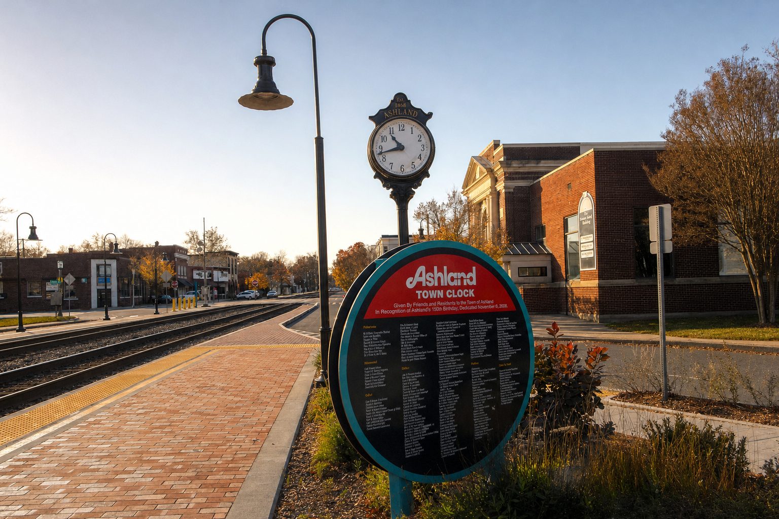
Photo: AI-enhanced from a photo by DanTD, CC BY-SA 4.0.